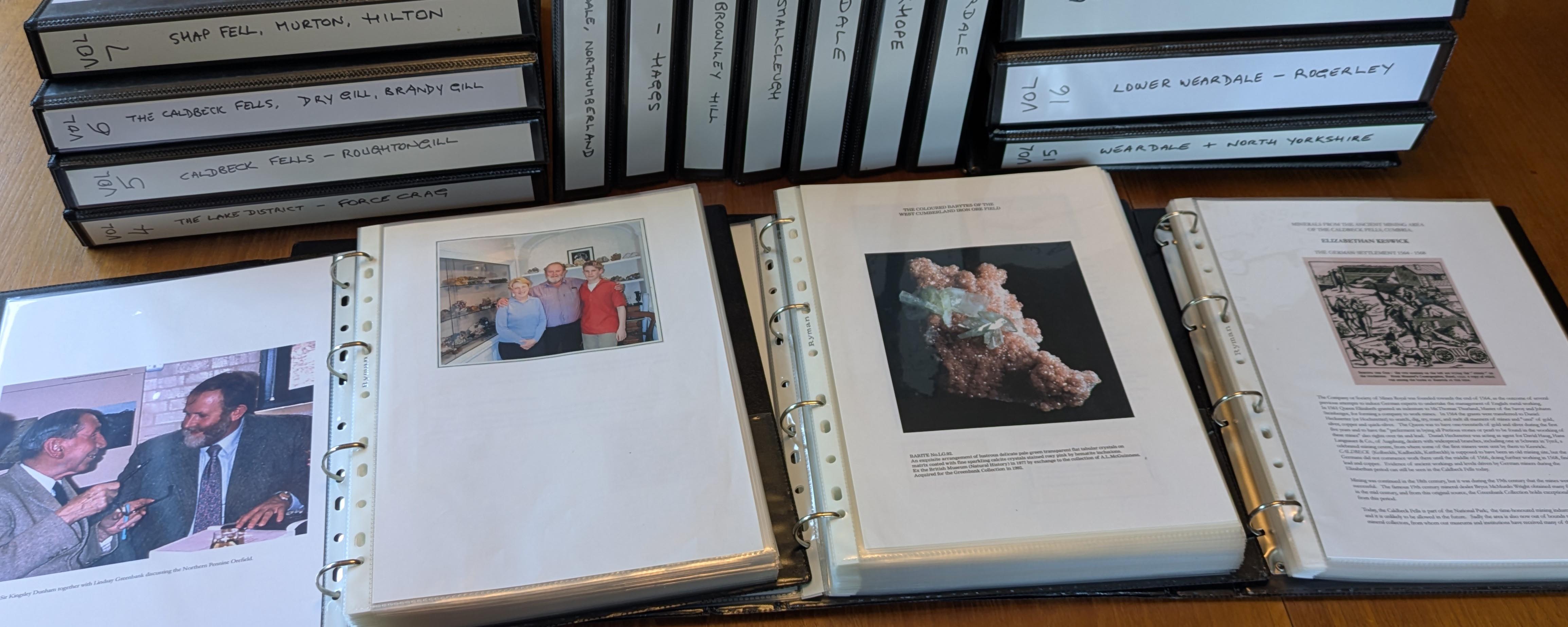
This page provides access to view a set of scanned documents (about 1100 pages) compiled during the past few years by the late Patricia Greenbank of Kendal to commemorate, and capture for posterity, the many mineral and mining projects undertaken by herself and her husband Lindsay Greenbank, together with a close group of friends and business partners. Contained within the files is a unique photographic archive of mineral collecting over the past 60 years or so. Included here are pictures of many fine specimens that passed through Lindsay and Patricia’s hands, together with accompanying historical labels, one of a kind images of work undertaken at the famous Rogerley mine and at Force Crag mine, and underground explorations across Northern England that were the principal focus of their activities.
The scans are reproduced in the same sequence as the individual pages in Patricia’s ring binders, and include any typographical, spelling or other errors that exist in the original documents. The quality of the images and text is somewhat variable because the originals are mainly inkjet prints on a variety of different paper types and there is, inevitably, some loss of fidelity and resolution as a result of being printed and then scanned. In the case of various ‘earlier’ images (pre-digital era) the scans are from photographic prints pasted onto a mounting page and in a few instances they are scans of original photographic prints which have been scanned by Patricia and then printed out, and re-scanned by me for this project.
The collection is reproduced with the cooperation and permission of Oliver Greenbank to whom I wish to express my grateful thanks. I hope that you will enjoy studying the images and re-living some of the exploits of a unique couple who carved out a particular niche in the British and international mineral dealing market.
The Mineralogical Record published a special supplement to Volume 41 no.1 in 2010 “The Lindsay Greenbank Collection – Classic Minerals of Northern England”. You can find a reduced resolution copy of that online https://issuu.com/irocks/docs/greenbank_book_-_complete_reduced/140, and will doubtless recognise some of the images included here as having been produced for that publication.
Click on the file name below to open a document (note that the files are quite large and may take a few seconds to load):
Vol.1 IoM, Furness and W. Cumberland
Vol.2 West Cumberland (now Cumbria)
Vol.6 The Caldbeck Fells (Dry Gill, Brandy Gill, Driggeth)
Vol.7 The Escarpment of Westmorland (K’Stephen, Shap, Murton, Hilton)
Vol.8 Garrigill, Lunedale and Teesdale and Northumberland
Vol.9 Alston Moor – Nentsberry Haggs
Vol.10 Alston Moor – Brownley Hill
Vol.11 Alston Moor – Smallcleugh and Rampgill
Vol.12 Allendale – White Heaps, St. Peter’s and Allenheads
Vol.13 Rookhope – Boltsburn, Stotfield Burn, Redburn and Frazer’s Hush
Vol.14 Upper Weardale – Blackdene, Middlehope, Greenlaws, Heights and Eastgate
Vol.15 Weardale (excl. Rogerley), Cambokeels, W. Pasture, Newlandside and N. Yorks